

Estimated Drive Time: 1 hr 41 min • Driving Distance: 76.3 miles • Google Maps
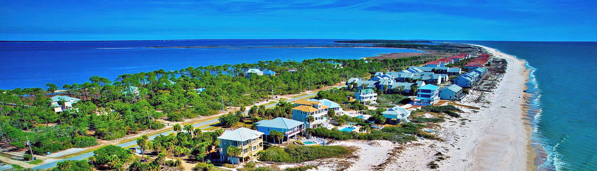
Located just under two hours’ drive from the capital city of Tallahassee, St. George Island is an easily accessible barrier island in the Apalachicola region of the Florida Panhandle. Situated across 28 miles in the Gulf of Mexico, visitors from the mainland flock to the island for outdoor recreation, coastal dining, and the tranquil vibes of the Forgotten Coast, a world away from the hustle and bustle of the city.
If you’re flying in for your getaway, chances are you’ll be taking a commercial flight into Tallahassee. Tallahassee Regional Airport (TLH) is the closest major airport to St. George Island, servicing most of northwest Florida. Rental car services are available on-site, allowing you to forge your own path to the island, taking in remarkable sights along the way.
The most direct driving route from Tallahassee to St George Island is US HWY 319 South, also known as the “Scenic Byway”. If you don’t mind adding a few minutes to the trip you can detour through Woodville via FL-363 or take the extended scenic route via FL-20 West to FL-65 South. No matter which route you choose, a great adventure awaits. Expect to see everything from towering pines to seagrass beds and marshes. Be sure to keep an eye out for a variety of plants and wildlife.
Direct Route via US HWY 319 South (Aprox 1.5 hours):
- US HWY 319 South to Big Bend Scenic Byway Coastal Trail/Patton Drive in Franklin County
- Continue on Big Bend Scenic Byway Coastal Trail to West Bay Shore Drive